Hagestein was built on a higher-lying levee. The shape of the village and the block-shaped subdivision shows that people were also living in Hagestein before the cope reclamations in the 11th Century. Hagestein was originally a small collection of farms around the central Dorpsstraat and Achterweg. At that time, it was not called Hagestein but Gasperden, after the Gaasp River that runs through the village.
In the year 1108, the chapters of the Utrecht Cathedral and the Oudmunsterker…
Hagestein was built on a higher-lying levee. The shape of the village and the block-shaped subdivision shows that people were also living in Hagestein before the cope reclamations in the 11th Century. Hagestein was originally a small collection of farms around the central Dorpsstraat and Achterweg. At that time, it was not called Hagestein but Gasperden, after the Gaasp River that runs through the village.
In the year 1108, the chapters of the Utrecht Cathedral and the Oudmunsterkerk established a parish church in Gasperden. Jan IV van Arkel granted the town rights in the mid-14th Century. His son, Jan V van Arkel, constructed extensive urban defence works, including a double canal. Despite having a church, a castle and town rights, the growth of Gasperden was nipped in the bud. In the year 1405, the town was razed to the ground after a siege. Only the church remained intact.
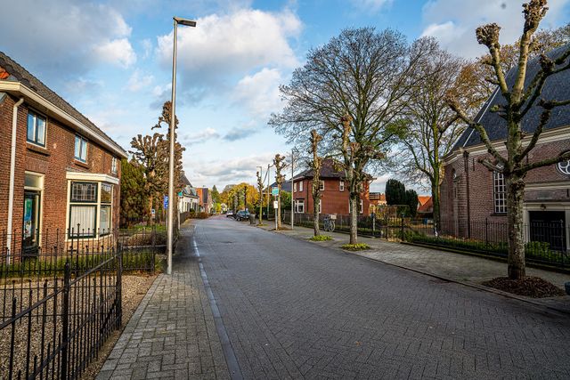
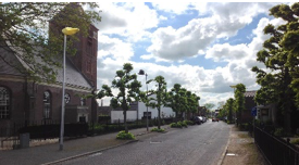
Several farms were rebuilt after the destruction. The place continued to exist under the name Hagestein. Only after World War II was the village really expanded for the first time, with a small district of workers’ houses. Dorpsstraat is still the centre of Hagestein. Two buildings stand out in the centre among the simple houses: the church and the former town hall.
Further reading: Dutch Reformed Church Hagestein, Hagestein Castle, Hagestein town hall, Hagestein dam complex, Cope reclamation.