Discover the beautiful countryside of Vianen and Culemborg. Walking through meadows and the floodplains of the Lek, over Fort Everdingen, historic dikes and through farmland. The vastness of the river landscape and the cultural history of the New Dutch Waterline determine the atmosphere here. Put on your clogs, backpack and go!
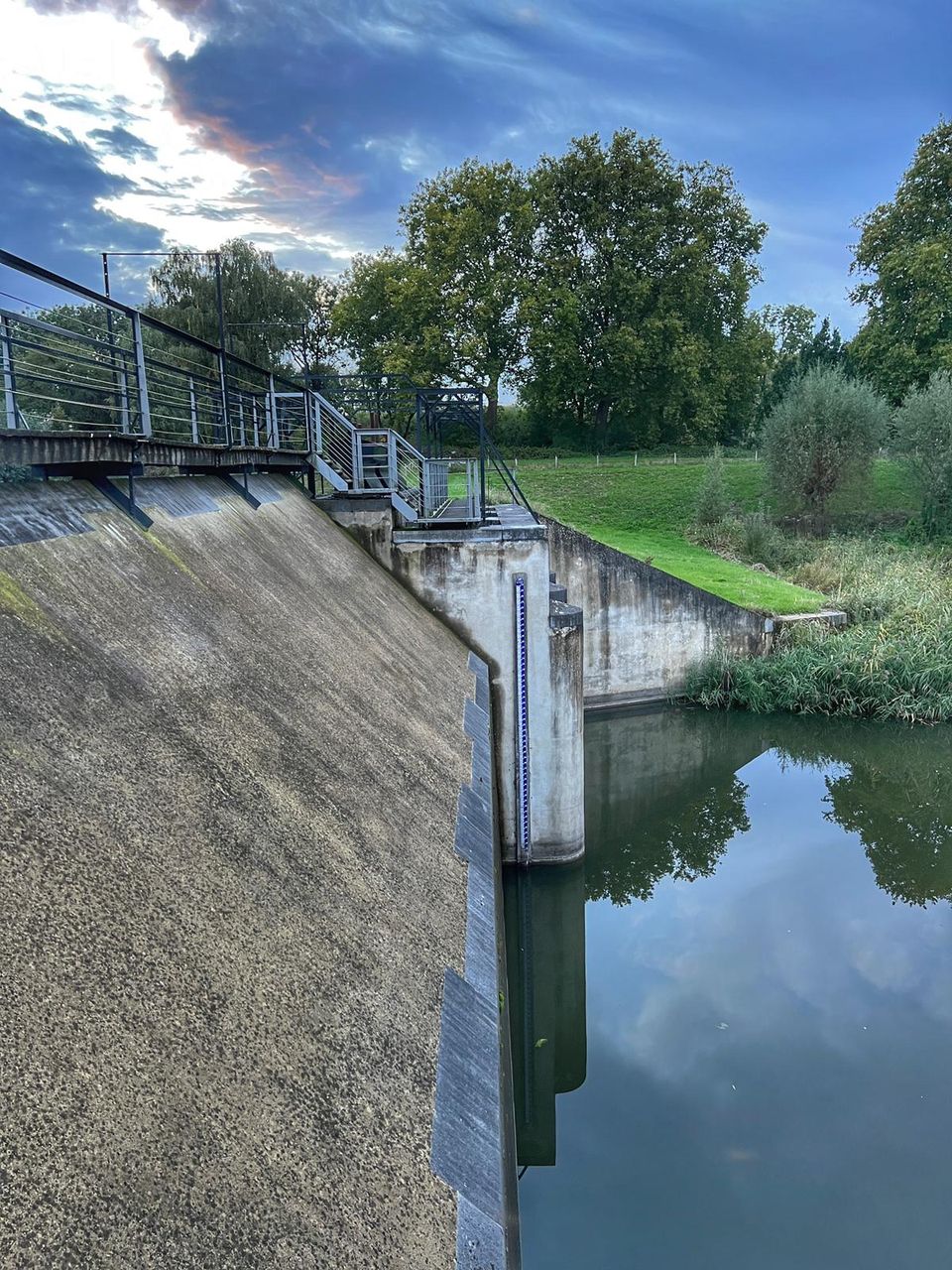
In 1815, a fan lock was built into the Lekdijk near Goilberdingen for inundation purposes. It was protected by an earthen battery. In 1848, the battery was upgraded to a fort. Later on, the inundation system was optimised, and four bomb-proof buildings were added to the fort. In peacetime, the...
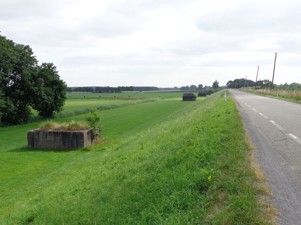
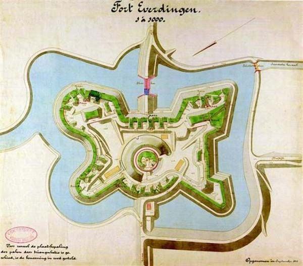
In 1815, a fan lock was built into the Lekdijk near Goilberdingen for inundation purposes. It was protected by an earthen battery. In 1848, the battery was upgraded to a fort. Later on, the inundation system was optimised, and four bomb-proof buildings were added to the fort. In peacetime, the road on top of the dyke ran right through the fort, but traffic was led around the fort in times of mobilisation. In 1939, seven concrete shelters and two machine gun casemates were added. An unusual feature is the high free-standing wall in a field to the south of the fort. This was the stop butt of a German firing range.
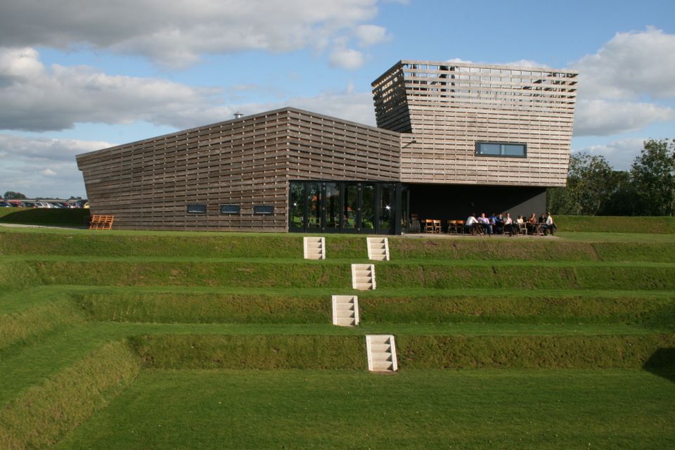
Destroyed towns and castles, plundering and domestic (and foreign) wars: every town and village has its own story to tell. Everdingen was put on the Dutch military map in the 19th Century as part of the New Dutch Water Line.
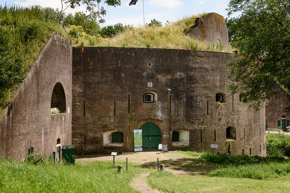

Anyone who delves into the history of the Vijfheerenlanden will soon discover that the now very quiet and peaceful area has a history filled with clashing weapons. Destroyed towns and castles, plundering and domestic (and foreign) wars: every town and village has its own story to tell. Everdingen was put on the Dutch military map in the 19th Century as part of the New Dutch Water Line.
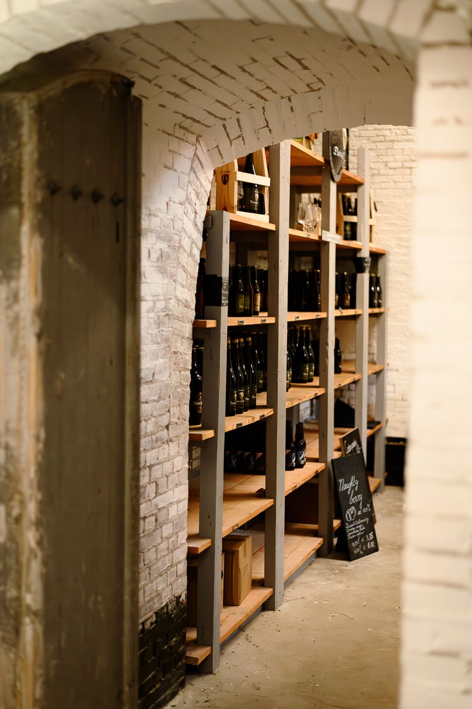
The New Dutch Water Line ran from the former Zuiderzee near Muiden to the Biesbosch near Werkendam and consisted of a variety of defences and inundation fields (areas that could be placed underwater). Fort Everdingen was built between 1842 and 1847 and, together with Fort Honswijk, formed the Lek access on the other side of the Lek. The surrounding land could be flooded using inundation locks. The fort itself was walled and well defended by a variety of casemates. The new Dutch Water Line was prepared 3 times. At the end of World War II, German forces used the line as a defence against the advancing Allies. Fort Everdingen lost its defensive function after the war. The military Explosive Ordinance Disposal service used the fort until 2014. It’s now home to the German & Lauret brewery, which uses the special water filtering system in their brewery. It’s also an over-wintering place for many bats.
Further reading: Batestein Castle, Hagestein Castle, Vianen Castle, Brederode statue, Everdingen village centre, Vianen water tower.
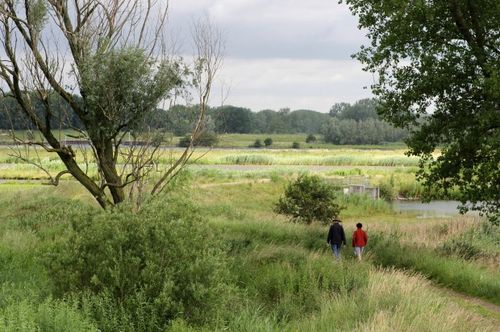
Haylands, reed beds, oxfords, mud flats, river banks, hawthorn hedges and swamp forest: the Everdinger Waarden are very versatile.
This centuries-old long dyke marks the border between the Betuwe to the east and the lowlands to the west. The purpose of the Diefdijk was to protect the lower-lying meadows whenever the higher Betuwe flooded. The dyke was reinforced in 2015 and still serves its purpose today. It was also part...
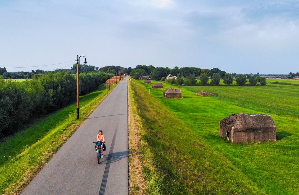
This centuries-old long dyke marks the border between the Betuwe to the east and the lowlands to the west. The purpose of the Diefdijk was to protect the lower-lying meadows whenever the higher Betuwe flooded. The dyke was reinforced in 2015 and still serves its purpose today. It was also part of the New Dutch Waterline: the area to the east of the dyke served as an inundation area. To this day, this area remains scarcely built up. Nature reserves of various sizes border the dyke on either side.
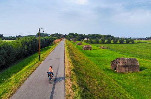
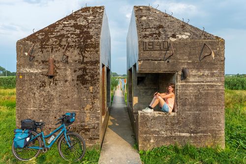
This cut-through bunker was built as a group shelter in 1940. In 2010, it was split into two separate parts by cutting out and removing a section of around one metre wide. This was done as part of the Molenkade government maintenance project. The cutting work (which required the use of a diamo...