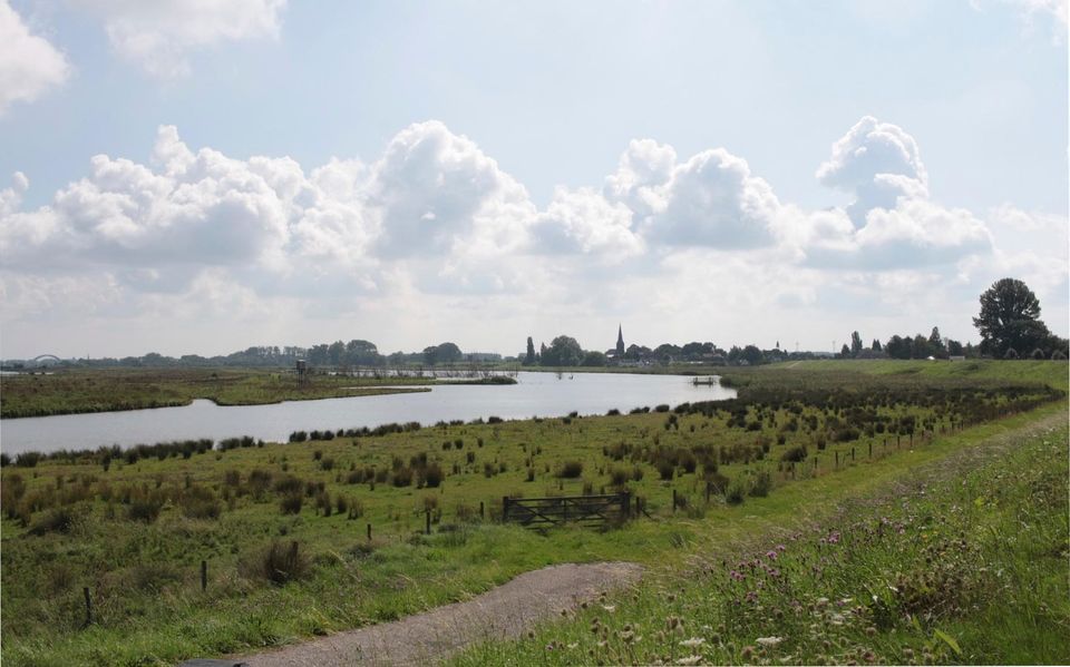
With the reclamation of the peatlands in the 11th Century in the area of today’s Vianen, the Lek was also diked. An existing river bank was used to construct the Lek Dike, which meant that the dike was situated a short distance from the river. The dike not only served as a line of defence against the water, but also offered possibilities for housing. Starting in the 11th Century, a number of farmers, farmhands and artisans settled alongside the dike.
Water management was once again high on the agenda in the 13t…
With the reclamation of the peatlands in the 11th Century in the area of today’s Vianen, the Lek was also diked. An existing river bank was used to construct the Lek Dike, which meant that the dike was situated a short distance from the river. The dike not only served as a line of defence against the water, but also offered possibilities for housing. Starting in the 11th Century, a number of farmers, farmhands and artisans settled alongside the dike.
Water management was once again high on the agenda in the 13th Century. In the early century, peat extraction probably extended to the Everdingen narrows, which created heavy demands for drainage. A combination of floods, storm tides and persistent flooding due to soil subsidence caused major problems throughout the area. In the year 1284, the five autonomous lords who ruled the area met at Everdingen’s church to jointly address water management and dike maintenance issues. They merged several separate dikes into the continuous Lek Dike and raised it. The area owes its name Vijfheerenlanden (‘Land of the Five Lords’) to this co-operation between the five lords. With the dike improvements, the residency level also increased and Everdingen continued to grow.
Further reading: Vianen Castle, Cope reclamation, Essensteyn farm, Rustenburg farm, Everdingen village centre, The Lekbridge.